
Livonia Neighbors Block Sources
Public material about a Livonia block is scattered by purpose. The parcel map shows the shape and address of lots beside one another. A tax record can identify a dated owner, while voter data can confirm an individual registration within strict limits. Civic pages are better for finding a voluntary neighborhood group than for finding people who live on a block. The table keeps those roles separate, which matters when looking up who lives nearby without overstating what a source proves.
| Source | What It Shows About a Block | Access |
|---|---|---|
| Livonia ArcGIS parcels | Adjacent polygons, mapped addresses, PINs, roads, and subdivision context | Public map and identify or query tools; no people list |
| Livonia BS&A property inquiry | Tax owner and property-service results for a bounded address set | Public portal; result completeness and historic extent are not stated |
| Michigan Voter Information Center | One voter-registration result with public fields | Individual lookup, not a street roster |
| Qualified Voter File request | Defined geographic voter data, such as ward or precinct | Formal request with redactions and fee review |
| City civic links and historic directories | Voluntary group names or dated household clues | Public group links; library access for historical materials |
Tax ownership can differ from occupancy. A mailing address may be somewhere else, and a homestead exemption is only an indicator that must be read in its dated tax context. Private household members, utility customers, delivery records, and protected voters are not a lawful block directory.
BS&A can be searched by address, name, or parcel number, and its documented services can also expose tax, building, or utility-billing context where applicable. For a block question, enter one address or a controlled range only when the portal accepts it. Read the result row for its name, reference number, and address, then open each property detail separately. A name result may be an entity or a tax owner whose mailing address is elsewhere.
Mapping a Livonia Neighbor Block
The City of Livonia Parcel Map is the starting point for this Livonia neighbors workflow. It is a spatial tool. Search or zoom to the known address, turn on parcel and address labels, and use the surrounding polygons to make a small list of parcels that touch the target or sit directly across the street. The app does not document a one-click neighbor report, radius search, or resident list.
Livonia's aerial parcel viewer is shown in this parcel-viewer image.
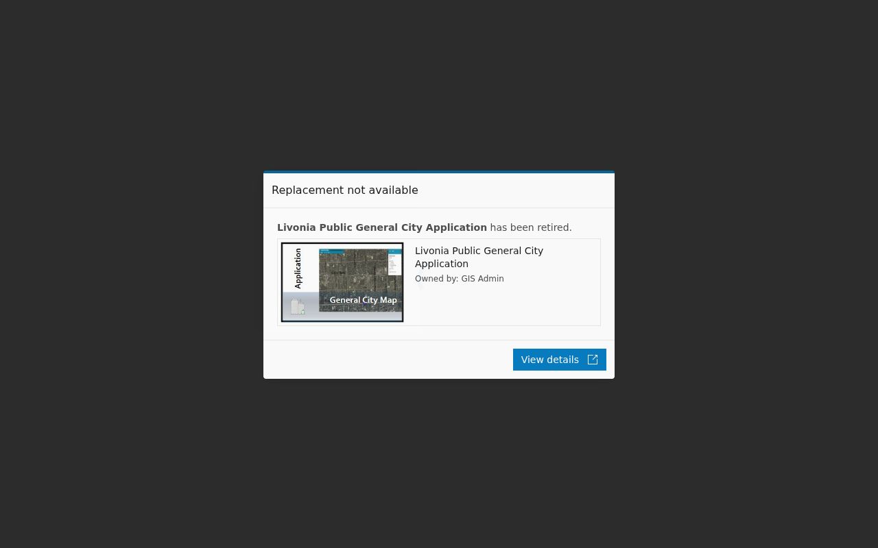
The outline on the map is a geography clue. Carry the PIN or mapped address to the property inquiry or deed route before attaching a person’s name to that parcel.
- Locate the target address and turn on Tax Parcels plus address or PIN text.
- Click the target parcel, then pan one parcel at a time to identify touching or directly opposite polygons.
- Record each PIN, lot label, address, and subdivision context without publishing a private contact list.
- Use a separate BS&A or deed check for a dated owner. For a full street chain, use the Livonia by-street directory.
Livonia GIS for Neighbors
The map service behind the viewer exposes Tax Parcels, Address Text, Parcel Full PIN Text, Parcel Lot Text, Subdivision Boundary, road layers, water and drainage layers, and quarter-section lines. Its Identify, Query, Find, and Export Map functions can help place an address within the same subdivision or road segment. A PIN is the strongest bridge from the map to a property card or legal description. It is more reliable than guessing from a street label when older records use a variant spelling or a subdivision name.
The Livonia ArcGIS map-service layers are shown in this map-service image.
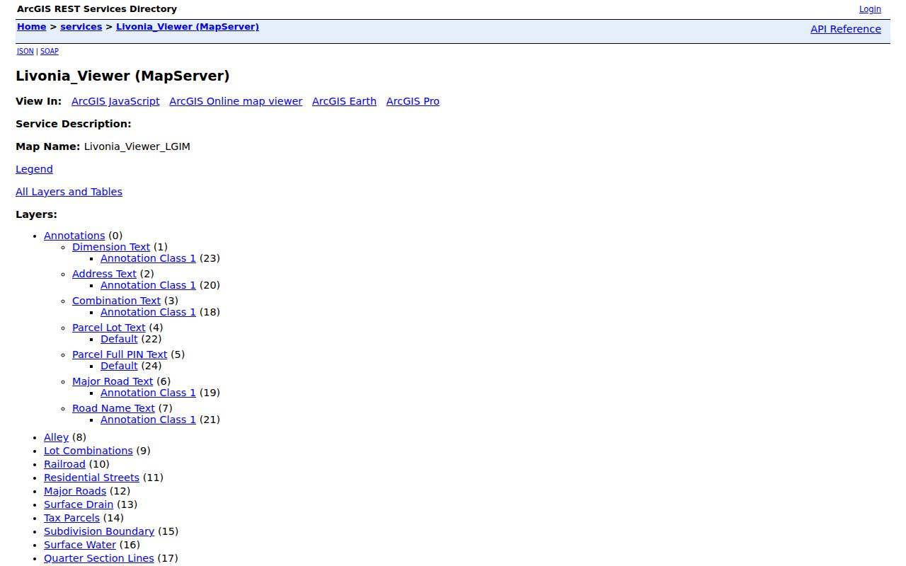
Use the map to establish where parcels are. Use tax and recorded-document sources to establish who was associated with a parcel on a particular date. Neither step proves every current occupant.
Subdivision Boundary and road layers can also explain why a block is known by one civic label while a deed uses a lot and subdivision description. The public service does not state a historic coverage date for its parcel display. If an older address appears under Newburg rather than Newburgh, preserve both spellings in notes and use the PIN or legal description to keep the parcel trail aligned.
Note: Preserve the full PIN exactly as the map displays it instead of attempting to infer a parcel-number format.
Livonia Neighbor Voter Limits
MVIC is an individual confirmation tool. Its name form uses first name, last name, birth month, birth year, and ZIP code. It cannot browse a street or list all Livonia neighbors. Michigan allows public voter-registration records while withholding ID numbers, full birth dates, phone, email, signatures, and protected information. A participation record can indicate whether and when a person voted, but it does not reveal a ballot choice.
A geographic Qualified Voter File request can specify a city, county, district, school area, ward, precinct, or other defined geography. The form does not promise a street filter. Describe the request narrowly, expect redaction and fee review, and never use an ACP substitute address as a route to a protected physical location.
Livonia Civic Groups for Neighbors
Livonia’s Quick Links directory identifies civic associations, homeowner groups, swim and tennis clubs, and neighborhood organizations. It is useful for finding a group’s public contact route, not for assembling a household roster. City material lists Clements Circle, Kimberly Oaks, Old Rosedale Gardens, Nottingham West, SMB Estates, Stoneleigh Village, Burton Hollow, Fairway Farms, Coventry Gardens, and Livonia Neighbors and Friends among the community links available at the time reviewed.
The city’s neighborhood-association listing is shown in this association-listing image.
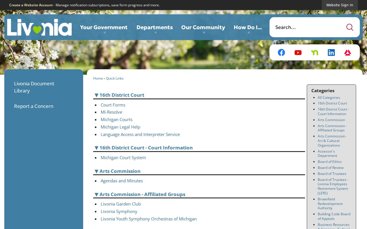
These links describe community networks. They do not show who belongs to a group or who lives at a particular address.
Clements Circle Civic Association
Active since the mid-1950s, with a public history and community-purpose page rather than a member roster.
Kimberly Oaks Civic Association
Its public boundaries run from Farmington east to Hubbard west, Barkley north, and the Lyndon-to-Schoolcraft area south. The group describes about 700 single-family homes.
Other city-linked groups
Old Rosedale Gardens, Nottingham West, SMB Estates, and Stoneleigh Village have city-linked routes, but no public member directories were located.
Public boundaries can be useful context without identifying residents. Kimberly Oaks, for example, describes its own area and internal streets, while Clements Circle describes a long civic history. Confirm current contact details with each group before reaching out. Membership, mailing lists, and private event notices should remain with the organization rather than being copied into a block search.
Note: City-linked organizations may change contacts or boundaries, so verify details with the group before relying on an older listing.
Livonia Neighborhood Watch Blocks
Livonia Police Neighborhood Watch gives a practical community structure without turning a block into a public directory. A group determines the streets involved, obtains at least 50 percent resident commitment, selects a coordinator, and submits a coordinator form with a street list or subdivision map. Block maps identify residents and block captains for the group’s own work, not for publication. Recognition also requires at least one annual meeting, and signs follow the second meeting when participation reaches the stated threshold.
Livonia describes a watch block as roughly 10 to 25 homes. That scale helps neighbors organize around a shared area, but it is not an invitation to collect names from unrelated records. Use public program contacts to ask about participation rather than trying to infer a block captain from a parcel map.
The city’s neighborhood-grant material uses a group contact structure and a minimum of ten families or addresses for an association or group application. Those are participation requirements, not public-list fields. A group that is not yet established may document interested households for the application, but those addresses should not be republished as a neighbor directory.
Official Sources for Livonia Neighbors
Official records and commercial neighbor-search products solve different problems. Official sources show a defined field from a named custodian and a date. Commercial products may combine property, marketing, historic-address, and directory material into a report. That combination can be stale or merge two people with the same name. Neither type is a complete list of the people on a block.
| Official record route | Commercial neighbor category |
|---|---|
| Shows its custodian, record type, and access limits. | May combine sources with different dates and unknown matching rules. |
| Parcel and deed records can support a dated ownership question. | A displayed name or address is a lead, not proof of identity or occupancy. |
| Errors can be addressed with the relevant city, county, or state custodian. | Use the provider’s suppression process for an unwanted listing, then retain confirmation. |
For a current parcel fact, return to the official source. For a historic street question, use the dated library or deed trail instead of treating a compiled result as the final answer.
Livonia Neighbor Privacy Limits
Some nearby information is intentionally not public. An owner record does not list every occupant. Utility accounts, delivery information, DMV records, private phone or email, sealed court material, and protected voter details remain outside a public neighbor workflow. Michigan’s Address Confidentiality Program gives qualifying survivors a substitute address and mail forwarding. Do not triangulate or publish a protected physical address from a parcel, voter, or court clue.
When a public record appears wrong, take the record number, date, and supporting information to its custodian. Do not create a second unverified list to correct it. A precise map search and a respectful community contact route are more useful than a broad list of names.
Note: ACP participants may use a substitute address in voter registration, so a public match can never justify an attempt to identify a protected location.